The rugged San Gabriel Mountains overlook 10 million people in the Los Angeles Basin, but few venture into their reaches. This might not be the case much longer — On October 10th, 2014 President Obama established the San Gabriel Mountains National Monument to protect the natural, cultural, and scientific resources of the range.
Take a unique trip into the mountains by exploring the changes from the bottom to the top. You can travel from less than 1,000 feet above sea level to 10,064 feet in your venture.
At the lowest elevations, chaparral and desert habitat thrive in arid conditions while at middle elevations, cooler climates and more rain lead to oak and coniferous forest. At the top of the San Gabriel Mountains is Mt. Baldy, which gets its name because only low statured alpine species are adapted to live in the high elevations where winters are frigid.
Take a Google Earth tour that shows the changes from the desert in Valyermo to the top of Pine Mountain here.
Cross the range this weekend, or venture into the front country after work. Every trip reveals new wonders.
1,400 feet: San Gabriel Canyon Off Road Vehicle Area
San Gabriel Canyon’s lower reaches host a variety of activities you won’t find in the wilder parts of the range. After the amazing engineering of Cogswell Dam, you reach the San Gabriel Canyon Off Highway Vehicle Area, where motorists splash through the mud every weekend.
2,289 feet: Tunnels to Nowhere
As you walk up an abandoned section of Shoemaker Road you come across two tunnels.

The second suddenly ends, truncated in the mountainside. These tunnels were built during the Cold War to provide a direct route across the mountains, so that valley residents could flee a nuclear attack. The project was abandoned, however, as the cost was high and the plan impractical.
2770 feet: Bridge to Nowhere
Just below the Tunnels to Nowhere lies the Bridge to Nowhere, a remnant of the historic East Fork Road that washed away in the great flood of March 1938. The hike to the bridge is invigorating, but the truly adventurous can bungee jump off!
4,750: Devil’s Punchbowl
Explore multicolored, sedimentary rocks tilted over the desert. Devil’s Punchbowl is a fascinating geologic area created by uplift from the San Andreas and other local faults.
5,280 feet: Chilao
The Chilao-Horse Flats area was the favorite hideout of the San Gabriels’ most infamous bandido, Tiburcio Vasquez. Vasquez ran thousands of horses up his secret “Horsethief Trail,” to Chilao’s long, narrow valley where his men rebranded them and sold them in the desert below.
5,500 feet: Crystal Lake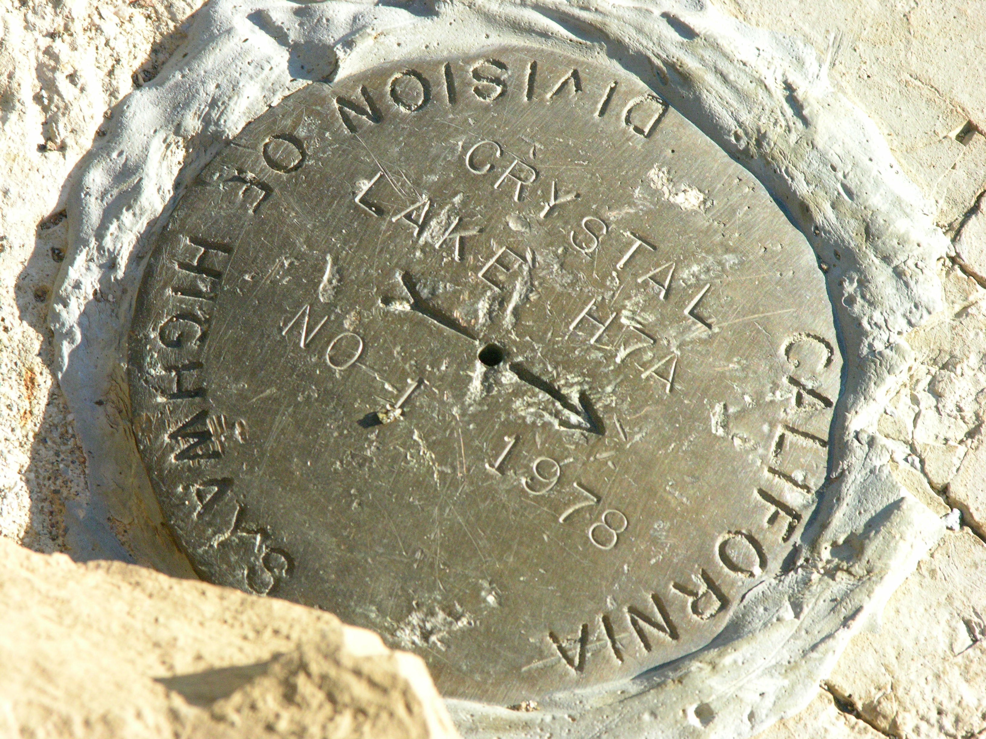
At Crystal Lake you can stay in a cabin, fish in Crystal Lake, or hike the gorgeous trail up Windy Gap to Mt. Islip. This area was closed to human visitation from 2002-2011 following a fire and flood, so enjoy a region that is more natural than the rest.
5,712 feet: Mt. Wilson and 6,812 feet: Lookout Mountain
Physicist Albert Michelson measured the speed of light by bouncing a beam 22 miles between Mt. Wilson, famous for housing equipment that sends TV signals throughout the Los Angeles area, and Lookout Mountain, a relatively unknown peak near Mt. San Antonio. Today, visit the famed Mt. Wilson Observatory and the Hubble Telescope.
6,400 feet: San Antonio Falls
Visit this 75-foot, multi tier waterfall with the family, or proceed to the strenuous hike up the Ski Hut Trail to San Antonio Peak.
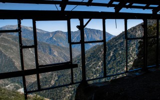
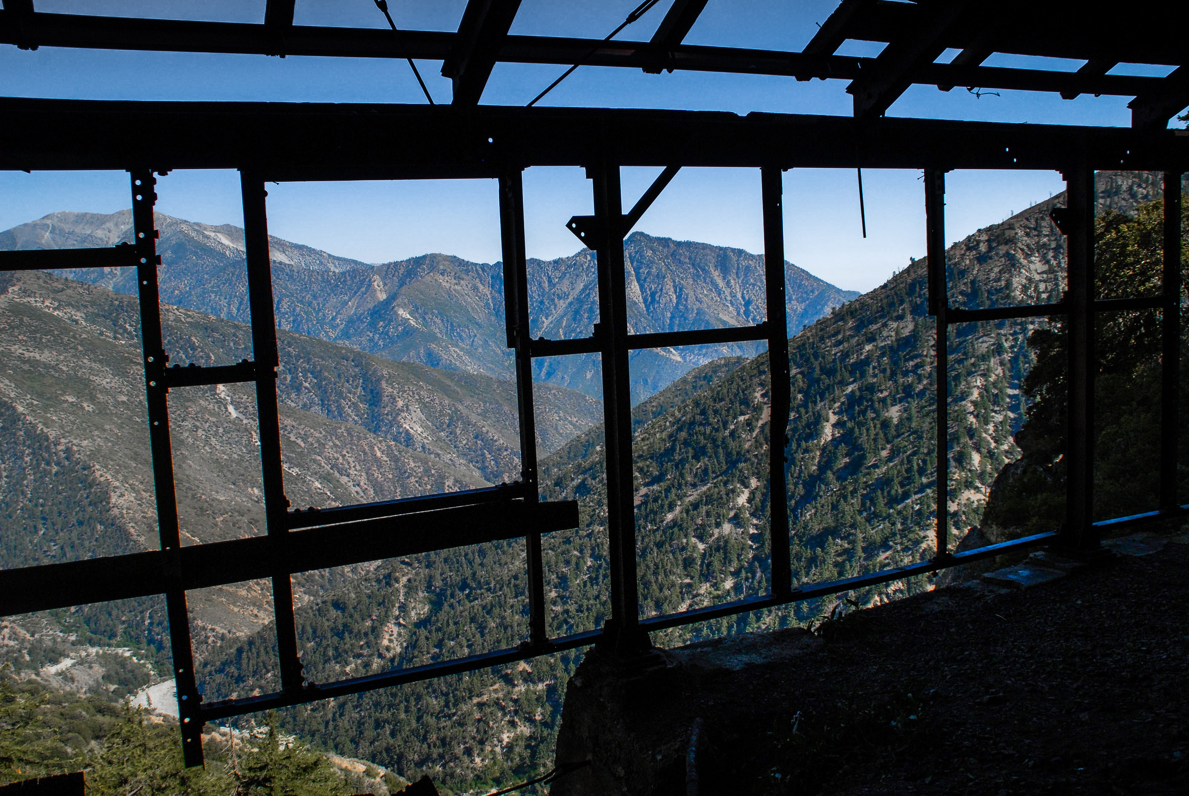
6,900 feet: Bighorn Mine
The mountains are filled with mines and remnants of mining towns. The Bighorn mine is perhaps the most spectacular.
7,691 feet: Mt. Waterman
Ski the slopes of Mt. Waterman in the winter, or enjoy a game of disk golf in the summer.
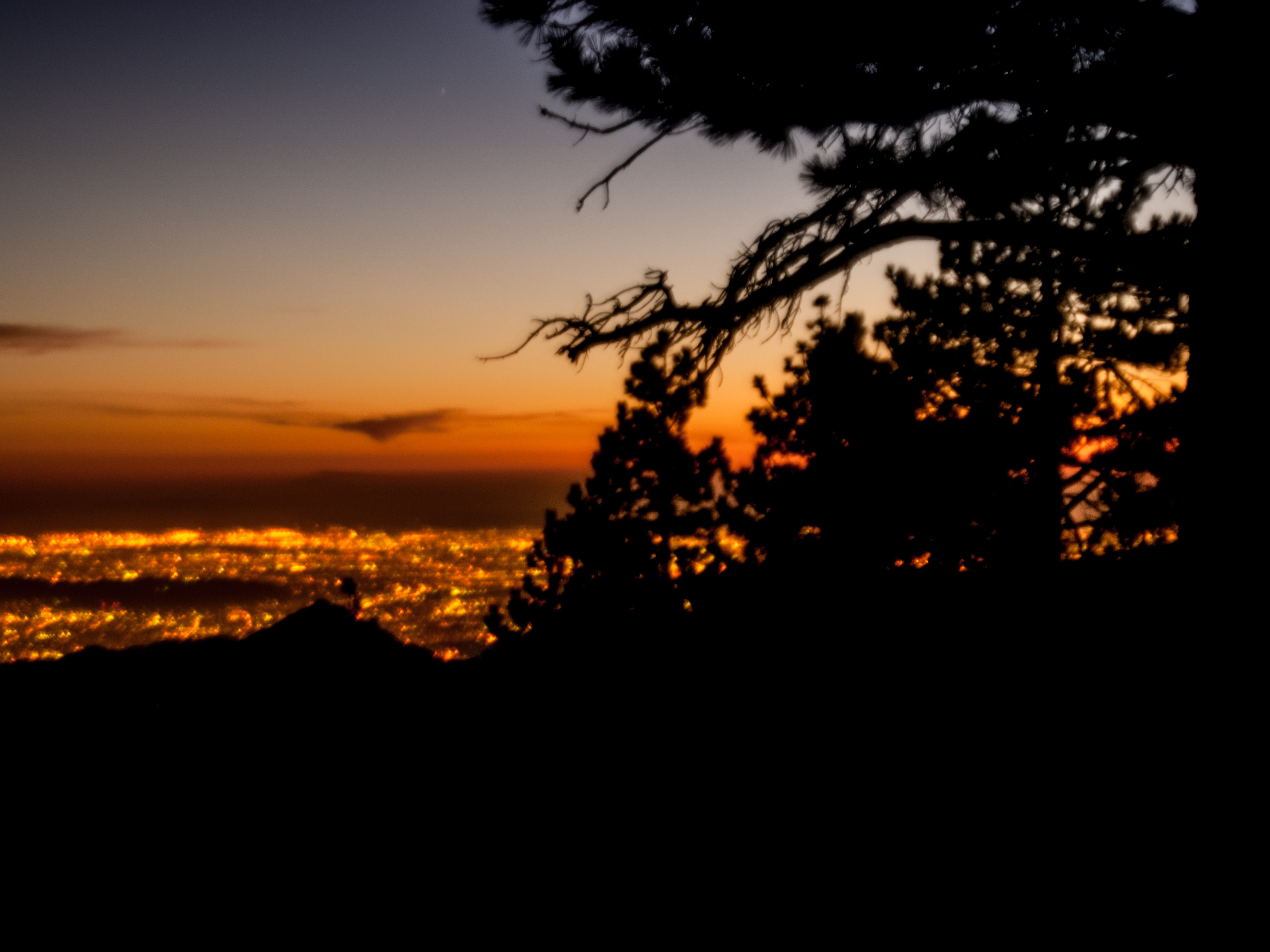
8,000 feet: Blue Ridge Campground
Blue Ridge Campground lies atop the ski slopes of Mountain High. It is a magnificent place to camp and take photographs, as it overlooks the desert to the north, and the lights of the San Gabriel Valley to the south. The Pacific Crest Trail Passes through Blue Ridge as it wanders 2,663 miles from Canada to Mexico.
8,210 feet: Ski Hut Trail
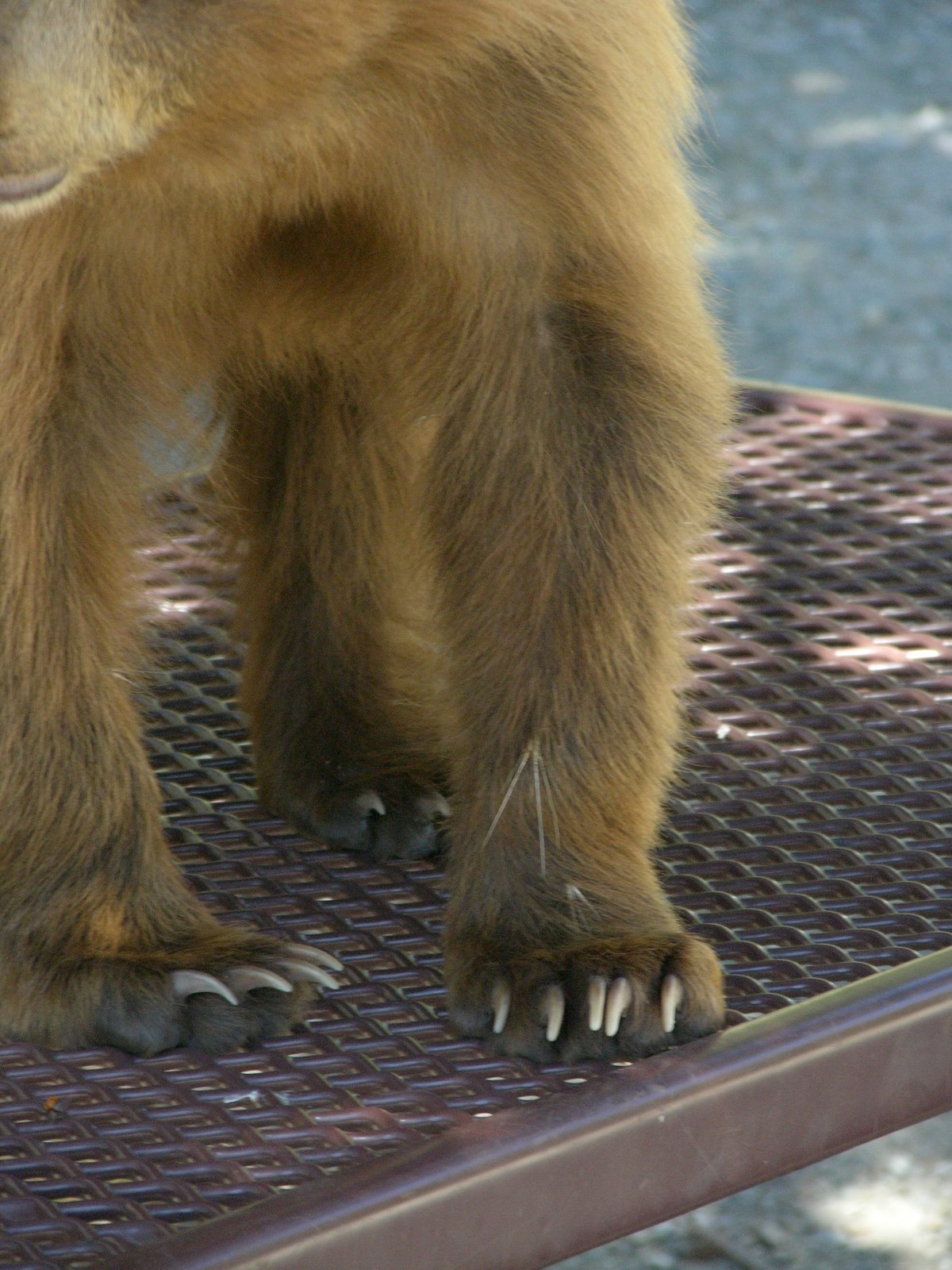
Watch for bighorn sheep as you pass this Sierra Club waystation. The recovering species is common on the Ski Hut Trail.
10,064 feet: Mt. San Antonio Peak- Mt. Baldy
This is the highest peak in the range! Watch for a crashed plane as you ascend from the Baldy Bowl, or take the ski lifts part way up for an easier trip.